How does planning work in England?
In England we operate under a 'plan-led system'. Local authorities make decisions about development on the basis of planning policy. This means that all decisions on planning applications in an area are informed by the policies and supporting information set out in the Local Plan for that area.
The UK Government has produced a Plain English Guide to the Planning System which explains how the planning system works in England.
How does planning work in our region?
Each of the counties in our region has its own spatial plan and local framework to affect change in a way that best suits its unique challenges, habitats and communities.
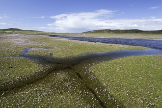
Salthill Quarry by Alan Wright
Lancashire
Lancashire, being currently less urbanised, makes most planning policy decisions at district level alone. There are 14 districts in Lancashire, with Lancashire County Council making strategic planning decisions mainly only on highways, mineral extraction sites and waste disposal sites for 12 of those district councils, though Blackburn with Darwen and Blackpool councils are unitary authorities, so can choose to make those decisions on their own or with the County Council.

Nick Rodd
Greater Manchester
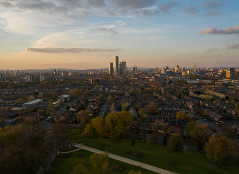
In densely developed Greater Manchester, an overarching spatial plan named ‘Places for Everyone’ has policies and allocations that seek to guide development in its ten districts in a way that is best for that city region overall.

Porcelain fungus by Guy Edwardes/2020VISION
Merseyside
Liverpool City Region includes the five districts of Merseyside, plus Halton. It is working on a Spatial Strategy that would do a similar thing in the City Region as 'Places for Everyone' will do in Greater Manchester.
The National Planning Policy Framework (NPPF)
The National Planning Policy Framework (NPPF) sets out the UK Government’s planning policies for England and how these are expected to be applied. It contains policies on conserving and enhancing the natural environment as well as guidance on Environmental Impact Assessments, climate change, light pollution and open space, all of which may have an impact on wildlife.
The NPPF has introduced the concept of ‘neighbourhood planning’ - to which Local Authorities must respond in their Local Plans - and a commitment to securing net gains for biodiversity. This means delivering more or better habitats for biodiversity and demonstrating this measurable gain through the use of the UK Government’s biodiversity metric. Although it covers habitats, the metric sadly doesn’t cover species.
There is online Planning Practice Guidance that provides further detail on implementing the policies in the NPPF. This includes a section on the natural environment which explains the key issues in implementing policy to protect biodiversity, ecosystems, natural capital and green infrastructure.
Key technical terms
If you're responding to planning applications or researching planning policy where you live, you're likely to come across these terms.
Green infrastructure
The term 'green infrastructure' describes features. These include road verges, railway cuttings and embankments, reservoirs, parks, canals, rivers, ponds, dry-stone walls, green roofs, hedgerows and trees that can potentially create ‘stepping-stones’ and corridors that connect fragmented wildlife habitats.
Natural capital
Natural capital refers to the elements of nature that directly or indirectly produce value to people. This includes ecosystems, species, freshwater, soils, minerals and seas, as well as natural processes and functions.
Ecosystem services
Ecosystem services are those services provided by ‘natural capital’ that lead to benefits to human society, for example: the pollination of crops, clean air, food, timber, flood protection, exercise, inspiration, carbon capture and storage.
Key areas for wildlife
In our Trust’s region, data about key areas for wildlife is drawn from a range of sources, including but not limited to:
- Statutory sites (national and international)
- Local sites
- Greater Manchester Sites of Biological Importance
- Lancashire Biological Heritage Sites
- Merseyside Local Wildlife Sites
You should be able to locate important sites near you through the UK Government’s interactive MAGIC map.


